|
| |
Other Points of Interest on Carriacou |
This page contains
a large number of thumbnails, but should load completely in just under one minute.
(Click on Thumbnail for larger photo, then click the back or previous button on your browser to return to this page)
|
Most of these photos
were taken during
July of 2000, two months into the rainy season.
Bogles
(Back
to top)
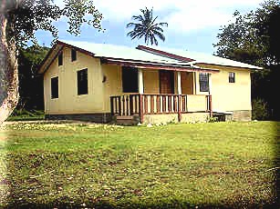
Bogles is the community that served as the
temporary host of Windward Bible Church for some five years. Is has a lot of friendly
people there. |
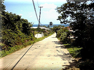
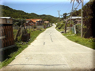
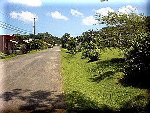
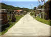
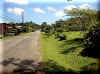
Road
leading into Bogles (Looking north) |
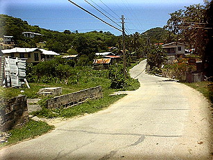
In
Bogles looking back south out of the village |
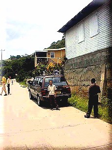
It
is unusual to see a Rastafarian place of worship such as this one located in Bogles.
(Looking east) Click on Thumbnail for a close up. Also see our article on Rastafarianism |
Road
on the upper end of Bogles heading east out of village toward the old Windward Bible
Church (WBC) location. |
Beausejour
(pronounced
Bow zheh `zure)
(Back to top)
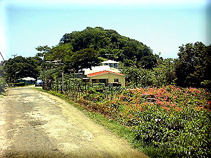
Beausejour is located just
north of Hillsborough. It also has an independent Baptist Church there. |
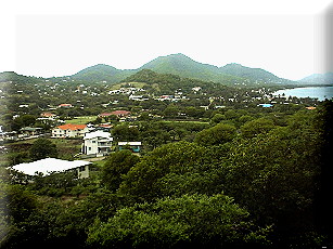
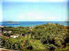
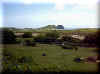
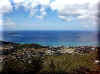
View
of Beausejour (lower left) and Hillsborough (Upper right) from road going from
Beausejour up to Belair (looking mostly south) |
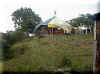
Open
Door Independent Baptist Church
|
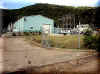
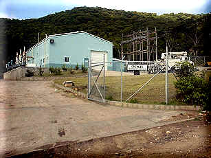
Grenlec
Diesel Power Station nearby in Beausejour (NE of and just outside
of Hillsborough) |
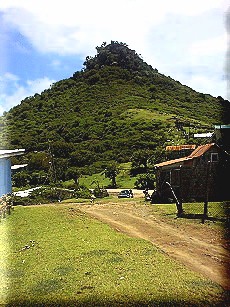
Belmont
(Back to top)
Belmont has always been one of the
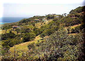
more picturesque places on Carriacou to me. |
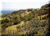
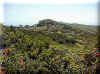
Taken on road to
Belmont
(Looking south toward Grenada Mainland) |
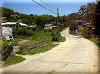
Road
leading into Belmont
(Looking south west) |
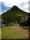
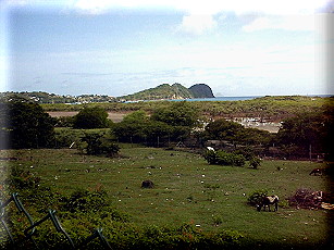
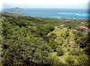
Extinct volcano core in Belmont? (Looking north east and I am no geologist) |
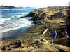
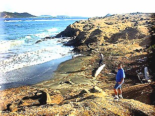
Beautiful
shoreline in Belmont (looking
South with my son Jeshua in the foreground) |
More
northern area of Belmont
(looking south east) |
More
southern area of Belmont
(looking south east) |
Dover
(Back to top)
Dover is a nice level area of Carriacou that
lies between the Robinsons' home and the village of Windward. |
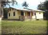
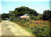
Dover
Grade School (1st - 6th grade). WBC has used this building for a few summers to hold
Vacation Bible School that has been well attended by Children in the Community |
Scenic
view from road leading from Dover area to Windward. The larger island in
the upper right is Petite Martinique. (Looking east) |
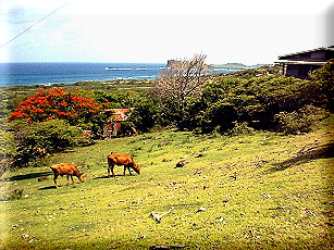
Grand Bay
(Back to top)
Grand Bay is a nice place where the Robinsons
lived for the first ten months on Carriacou. |
Taken
from the lower end of back road going down from Top Hill to Grand Bay (We used to live to
the left and to the left just above the lowest point in the road. |

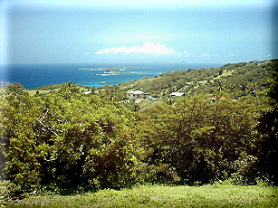
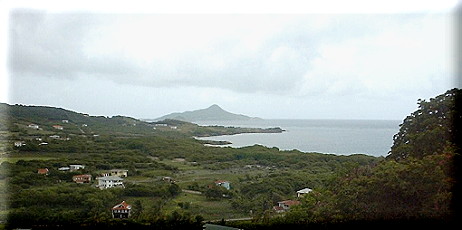
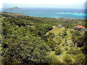
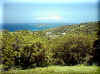
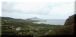
Scenic view overlooking Grand Bay (upper right), Mt.
Pleasant (upper middle), and Tarleton Point (upper left)from
Mt. Royal
looking Northeast |
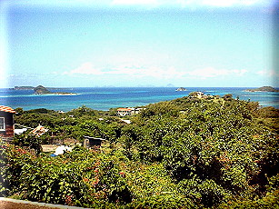
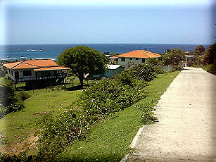
L'Esterre
(Back to top)
L'Esterre is one of the more densely populated
villages on Carriacou. It also has one of the most beautiful shorelines found anywhere. |
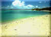
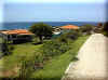
Paradise
Beach is one of the most beautiful beaches on Carriacou. (looking north)
|
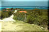
Road
leading from L'Esterre to Harvey Vale (Looking back toward L'Esterre |
Road leading from L'Esterre to Harvey Vale (Looking south west
toward Harvey Vale) |
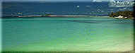
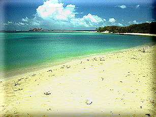
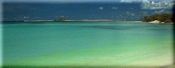
Sandy Island as seen from
L'Esterre's Paradise Beach (A Coca-
Cola Commercial was made there)
Click here to
see a VR Movie of this area |
Mount Pleasant
(Back to top)
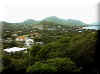
Mt. Pleasant is the largest village on the
central eastern
side of Carriacou. It has been expanding rapidly over
the
last 10 years with numerous new houses being built. |
Mt.
Pleasant with Tarleton Point in the far distance (looking north east) |
Mount Royal
(Back to top)
Mt. Royal has a beautiful panoramic view of the
southern end of Carriacou. On a haze-free day you can see all the way to Grenada to the
south, and the Grenadine Islands to the north. It is also the location for the Grenada
Cable and Wireless telephone microwave link to the mainland. |
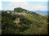
Mt.
Royal as viewed from Top Hill looking South |
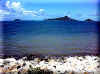
Grenada Mainland as viewed from Mt. Royal
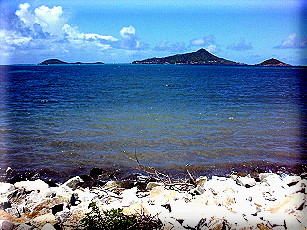
looking South (Large island in the distance roughly 16 miles away) |
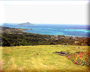
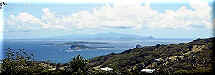
Scenic
view from Mt. Royal looking north east toward Top Hill with the island of Petite
Martinique (PM) which is seen in the upper right. (In the far distance and directly below
PM is Tarleton Point and the Harbour Light Radio Station)
|

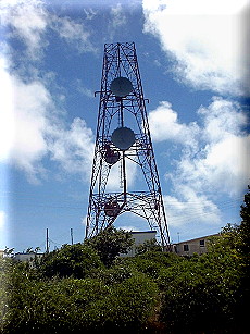
Grenada Cable & Wireless microwave tower in Mt. Royal |
Top Hill
(Back to top)
Top Hill, like other villages on Carriacou, is
a village inhabited by friendly people. It is also surrounded with beautiful scenic views
due to its mountain-top location . |
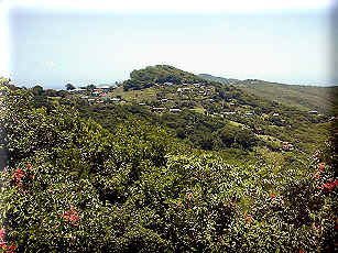
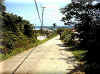
Middle of Top Hill (Looking back
north) |
Scenic view from Top
Hill that overlooks Grand Bay (upper right), Mt. Pleasant (upper
middle), and Tarleton Point (upper left) looking Northeast |
Look back toward Top Hill as
viewed from road to Mt. Royal Looking North |

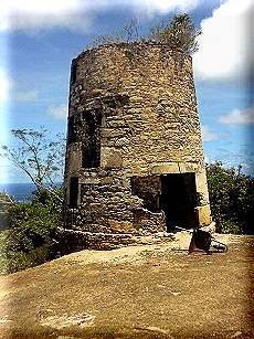
Old
mill in Top Hill |

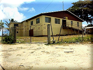
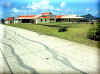
Nursing Home in Top Hill |
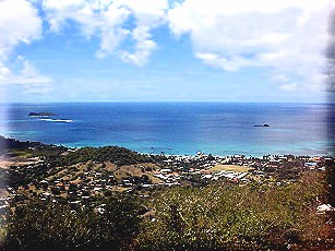
Scenic View of Hillsborough from Top Hill (Looking
south west) |
Copyright © 2000 Last Chance Ministries. All rights reserved.
Revised: May 02, 2006.
|
| |
|